

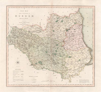
A New Map of the County of Durham divided into wards
Copper-line engraving with original hand-colouring. 1804. 490mm by 550mm (platemark). Large decorative map by Jones, Smith & Co. for Smith's New English Atlas. The first map of the county to show longitudes measured from the meridian of Greenwich.
Slight toning along central fold." Item #590
Price: $165.00